When the richest team in baseball asks New York City and New York State for $300 million to stay in a place they would never leave (they are the Bronx Bombers, after all, about to set an all-time major league attendance record), the City has to ask what it’s getting in return.
 If it’s getting a better city and a better neighborhood, then the investment might be worthwhile. And since the area between the Stadium and the Harlem River is a pedestrian DMZ — with an Interstate highway, dilapidated surface parking and the crumbling Bronx Terminal Market that’s about to be redeveloped by the Related Companies — it’s a good situation for the city to look into.
What’s required is that we make sure the city’s plan is mainly about the city, not just about better parking lots or even primarily about keeping the Bombers in the Bronx.
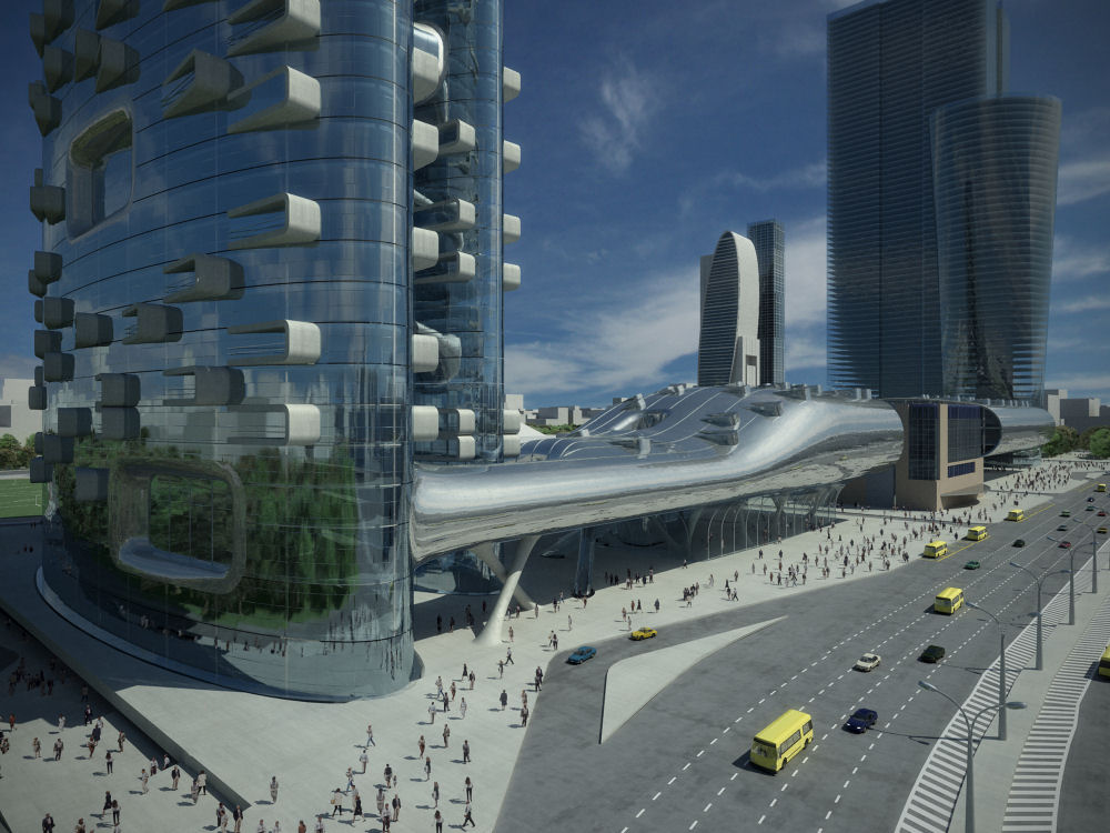
In 1998, I led an urban design studio at the University of Miami, the leading New Urban architecture school. We looked at the building of a new stadium as an opportunity to extend the city fabric of the Bronx from its ragged edge along the elevated subway to the banks of the river, where there will be new railroad and ferry stops. Using the traditional urban method of mapping streets to guide future development, the students made plans to inexpensively connect the river with the heart of the Bronx, a few short blocks away, where the Bronx County Building sits on the Grand Concourse.
Several of the students called their neighborhood "Yankee Village." Today, the Hon. Aldolfo Carrion, Bronx Borough President, has plans for a Yankee Village that will most likely be built. Carrion has a Master’s in Urban Planning and worked for the New York City Department of Planning, and the plan has reportedly had a high priority for his office.
For more information on the neighborhood, Carrion’s Yankee Village, and the students’ work, click here, here and here.

Carrion’s plan hasn’t been released to the public yet, but with Carrion’s background, we should expect it be better than his predecessor’s Yankee Village, announced late in 1998. That was something of a Potemkin Village: not like the Cadillac dealerships, but like the elaborate, false–front villages Catherine the Great’s Minister Grigori Aleksandrovich Potemkin built to impress the Empress on her tours of the Ukraine and the Crimea.
The 1998 Yankee Village design surrounded Yankee Stadium with parking structures decorated with facades that made the garages look like buildings filled with people rather than cars. The garages also cut the stadium off from the blocks between stadium and the river.
A real village is a walkable neighborhood with a mix of uses: stores, offices, houses and apartments. And real urban design is about making streets, squares, parks and places, not buildings.
Traditionally this was done in New York by the City "mapping" the streets: all of Manhattan above 14th Street was drawn in the famous New York Commissioner’s Plan of 1811, although many of the streets were not built until 4 or 5 decades later. In the outer boroughs, many of the streets were built by developers, but to the plans and specifications of the city.
This system broke down after World War II, when architects and social reformers instituted massive housing projects that reinvented the form of the city with "superblocks" and the tower-in-park model invented by the Swiss architect Le Corbusier. These Urban Renewal projects made the building more important than the street and the public realm. In The Death and Life of Great American Cities, New Yorker Jane Jacobs called them "Urban Removal" and "Towers in Parkings Lots."
In their Yankee Village plans, the University of Miami students went back to the traditional design of streets and squares, and the location of civic and commercial buildings, to make a new neighborhood that knits back together the lost section of the Bronx between the Harlem River and the Stadium.
All of the plans used large, warehouse-like structures similar to the abandoned warehouse next to the Deegan Expressway to mask the noise and disruption of the interstate. Two of the plans used a new train station with a Grand Concourse that went under an elevated section of the highway to seamlessly connect the cities on both sides of the highway: most pedestrians using the station wouldn’t even know the highway was there.
One of the plans took the approach of Manhattan’s new Westside / Joe DiMaggio Highway, saying that as the highway entered the city it must act in a civilized way, coming down off the elevated bridge and transforming itself into an elegant boulevard. Others took advantage of the unusual covered space under the highway used by the Bronx Terminal Market. And one plan put the stadium on a podium that spanned the highway and the multiple railroad tracks, similar to Mayor Bloomberg’s proposal for the west side of Manhattan and the Jets’ stadium.
All of the plans looked at the larger context. From the point of view of the city, it was considered essential to reclaim the waterfront for public use, as President Carrion is proposing. Plans were also made for a new Metro North station convenient to I-87 and north of the George Washington Bridge, a perennial bottleneck for traffic. With that station, commuters from towns not served by Metro North could conveniently park and ride before coming into the heart of the city.